A new tool for assessing ecological risk, developed by a team of Oxford researchers, was launched at the Oxford Martin School earlier this month.
LEFT, which stands for Local Ecological Footprinting Tool, was created by a team of University of Oxford researchers – in fields from biology to computer sciences - under the direction of Professor Kathy Willis, the first Director of the Oxford Martin School’s Biodiversity Institute. It was developed as an accessible online tool for parties undertaking biodiversity risk assessments.
LEFT works remotely, anywhere in the world, by accessing globally available databases and algorithms. The user enters a region of interest via a simple user-interface, and within minutes, the tool outputs a PDF explanatory report and local-scale maps (at 30m pixel resolution), detailing areas of highest ecological risk across a specified area of land.
Included in this report would be information on areas containing rare and threatened species and their habitats; important connectivity routes across the landscape; intact forest landscapes and ecosystem mosaics; wetlands and natural water courses; and native ecosystems and landscapes containing high concentrations of beta-diversity and areas displaying greatest ecological resilience against changes in climate.
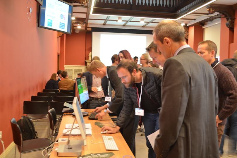
The launch took place at the Oxford Martin School on Friday 7 October. Attendees included land managers, environmental consultants, and parties involved with land-use decision-making in NGOs, alongside a number of academics. Professor Kathy Willis gave an overview of LEFT, before Dr Peter Long talked through the science underpinning the tool, and Paul Lindsell ran through the business model. Further discussion focused on how future developments of LEFT could contribute to environmental risk management in related sectors, such as human health and wellbeing, agriculture and insurance.
